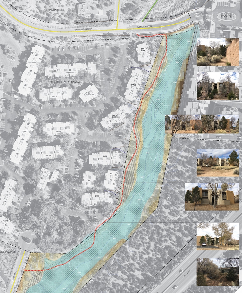
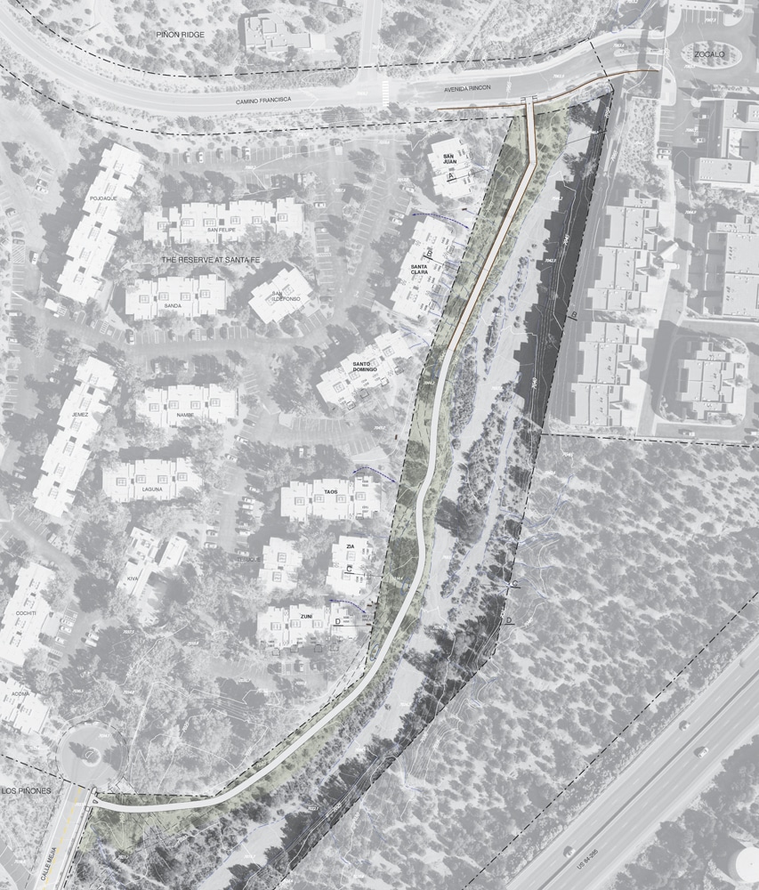
The proposed Cañada Rincon Trail is located on City land along the Cañada Rincon Arroyo within a narrow corridor between private property and the flood zone. Once constructed, the trail will allow pedestrians and bicyclist to safely navigate between Calle Mejia and Avenida Rincon on a non-motorized urban trail: an important route currently restricted by private land ownership. Instead of traveling 3 miles by car to downtown destinations, area residents have access to safer school routes, city center amenities, and regional recreation trails such as the La Tierra Trails network. At just .25 miles long, it will provide the greater Santa Fe urban trail system with a critical missing link and sets the stage for additional urban trail improvements and on-street bike lanes both north and south of the site.
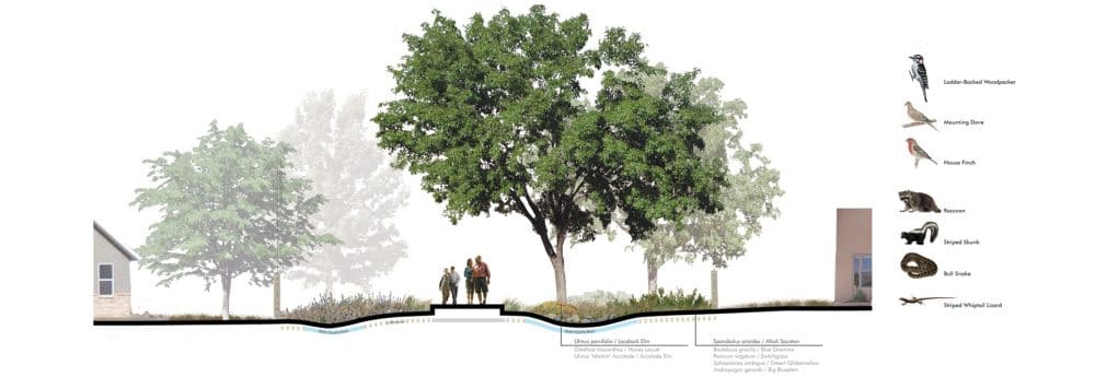
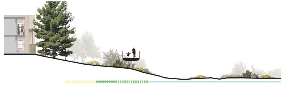
After gaining input from a well-attended public input process, the design team proposed a trail alignment that threads between constricting landforms and addresses neighbors’ concerns. Existing topography and vegetation was intimately studied to understand the impact of the trail to adjacent landowners, drainage and the arroyo’s edge. One key component of the trail design includes an intersection at Avenida Rincon, 12 ft. above existing grade. The team proposed a 360 ft. long ADA accessible ramp at a 5% slope which permits bicyclists and pedestrians to connect at grade to Avenida Rincon / Camino Francisca. Materiality, profile, and support elements will be critical to implementing the ramp in a way that relates to its surroundings unobtrusively.